Maps and Prints of Poland, Europe and the World / 21 November 2015
84. Carington Bowles | Bowles?s new pocket map of the Kingdom of Poland and Grand Dutchy of Lithuania?
Past auctionsMaps and Prints of Poland, Europe and the WorldBowles?s new pocket map of the Kingdom of Poland and Grand Dutchy of Lithuania?

 return
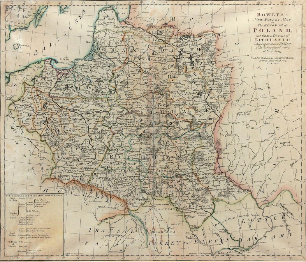


 About us